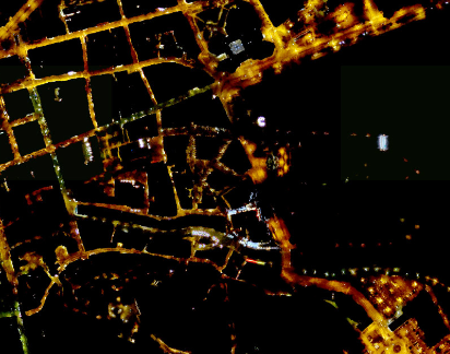
Carte des points lumineux éclairage public Saint_Pierre
Carte d'implantation des points lumineux
Simple
Identification info
- Date (Creation)
- 2017-07-09T12:45:00
- Citation identifier
- https://catalogue.geospm.com/geonetwork/srv/6e86d37a-7040-4c6a-9644-04700f426d41
- Point of contact
-
Organisation name Individual name Electronic mail address Role Mairie de Saint-Pierre
Foliot Patricia
Custodian
- Theme
-
-
eclairage public
-
-
INSPIRE Service taxonomy
-
-
infoMapAccessService
-
-
Collectivité territoriale de Saint-Pierre-et-Miquelon
-
-
COMMUNE
-
SAINT-PIERRE-ET-MIQUELON
-
-
Domaines
-
-
DTAM de Saint-Pierre et Miquelon
-
Mairie de Saint-Pierre
-
Grand Public
-
-
Domaines
-
-
DTAM de Saint-Pierre et Miquelon
-
Mairie de Saint-Pierre
-
Grand Public
-
-
Domaines
-
-
DTAM de Saint-Pierre et Miquelon
-
Mairie de Saint-Pierre
-
Grand Public
-
-
Domaines
-
-
DTAM de Saint-Pierre et Miquelon
-
Mairie de Saint-Pierre
-
Grand Public
-
- Access constraints
- Other restrictions
- Use constraints
- Other restrictions
- Other constraints
-
aucune restriction particuliere
- Use limitation
-
Aucune condition ne s’applique
- Classification
- Unclassified
- User note
-
aucune restriction particuliere
- Service Type
- invoke
- Description
-
ressource de type carte interactive disponible sur le site
))
- Coupling Type
- Tight
- Contains Operations
-
Operation Name Distributed Computing Platforms Connect Point Accès à la carte
Web services Accès à la carte interactive
Web services Accès au fichier contexte OWS de la carte
Web services Accès à la carte interactive
Web services Accès au fichier contexte OWS de la carte
Web services Accès à la carte interactive
Web services Accès au fichier contexte OWS de la carte
Web services https://carto.geospm.com/context/getOws/298674 Accès à la carte interactive
Web services Accès au fichier contexte OWS de la carte
Web services https://carto.geospm.com/context/getOws/298674 Accès à la carte interactive
Web services https://catalogue.geospm.com/geosource/consultation?id=298674
- Coupled Resource
-
Operation Name Scoped name Identifier GetCapabilities
Eclairage_public_ville_de_Saint_Pierre bcca0781-d696-4d7b-8ef8-e5648d31258d
- Reference system identifier
- EPSG / RGSPM0621N/EPSG:4467 / 7.4
- Units of distribution
-
liens associés
- OnLine resource
-
Protocol Linkage Name WWW:LINK-1.0-http--link
https://catalogue.geospm.com/geosource/consultation?id=298674 Accès à la carte
- Hierarchy level
- Service
- Other
-
carte interactive
Conformance result
- Date (Publication)
- 2009-10-16T15:50:00
- Explanation
-
Cf reglement
- Pass
- Yes
- Statement
-
Ressource de type carte interactive
Metadata
- File identifier
- 6e86d37a-7040-4c6a-9644-04700f426d41 XML
- Metadata language
-
fre
- Character set
- UTF8
- Hierarchy level
- Service
- Hierarchy level name
-
service invoke
- Date stamp
- 2024-09-30T16:26:14
- Metadata standard name
-
ISO 19115:2003/19139
- Metadata standard version
-
1.0
- Metadata author
-
Organisation name Individual name Electronic mail address Role Mairie de Saint-Pierre
Foliot Patricia
Custodian
Overviews


Spatial extent
))
Provided by
