Cartographie complète des vols drone effectués par la DTAM
Ce catalogue regroupe l'ensemble des vols drone effectués par les agents de la DTAM depuis 2018.
Simple
Identification info
- Date (Publication)
- 2023-03-09
- Citation identifier
- https://catalogue.geospm.com/geonetwork/srv/845a431a-f932-43e3-aca6-f802af19387b
- Status
- On going
- Point of contact
-
Organisation name Individual name Electronic mail address Role DTAM
Administrateur SIG
- Theme
-
-
INSPIRE Service taxonomy
-
-
infoMapAccessService
-
- Keywords
-
- Service Type
- invoke
N
S
E
W
))
- Coupling Type
- Tight
- Contains Operations
-
Operation Name Distributed Computing Platforms Connect Point Accès à la carte
Web services Accès à la carte interactive
Web services Accès au fichier contexte OWS de la carte
Web services Accès à la carte interactive
Web services Accès à la carte interactive
Web services https://catalogue.geospm.com/geosource/consultation?id=1065459 Accès à la carte interactive
Web services https://catalogue.geospm.com/geosource/consultation?id=1065459
- Coupled Resource
-
Operation Name Scoped name Identifier GetCapabilities
CataloguedesvolsdroneeffectuesparlaDTAM 497cd3aa-b98b-49c9-a33e-ea16d2a73947
- Reference system identifier
- EPSG / 4467 / 7.4
- Units of distribution
-
liens associés
- OnLine resource
-
Protocol Linkage Name WWW:LINK-1.0-http--link
https://catalogue.geospm.com/geosource/consultation?id=1065459 Accès à la carte
- Hierarchy level
- Service
Metadata
- File identifier
- 845a431a-f932-43e3-aca6-f802af19387b XML
- Metadata language
-
fre
- Character set
- UTF8
- Hierarchy level
- Service
- Hierarchy level name
-
service
- Date stamp
- 2024-10-15T15:27:21
- Metadata standard name
-
ISO 19115:2003/19139
- Metadata standard version
-
1.0
- Metadata author
-
Organisation name Individual name Electronic mail address Role Point of contact
Overviews
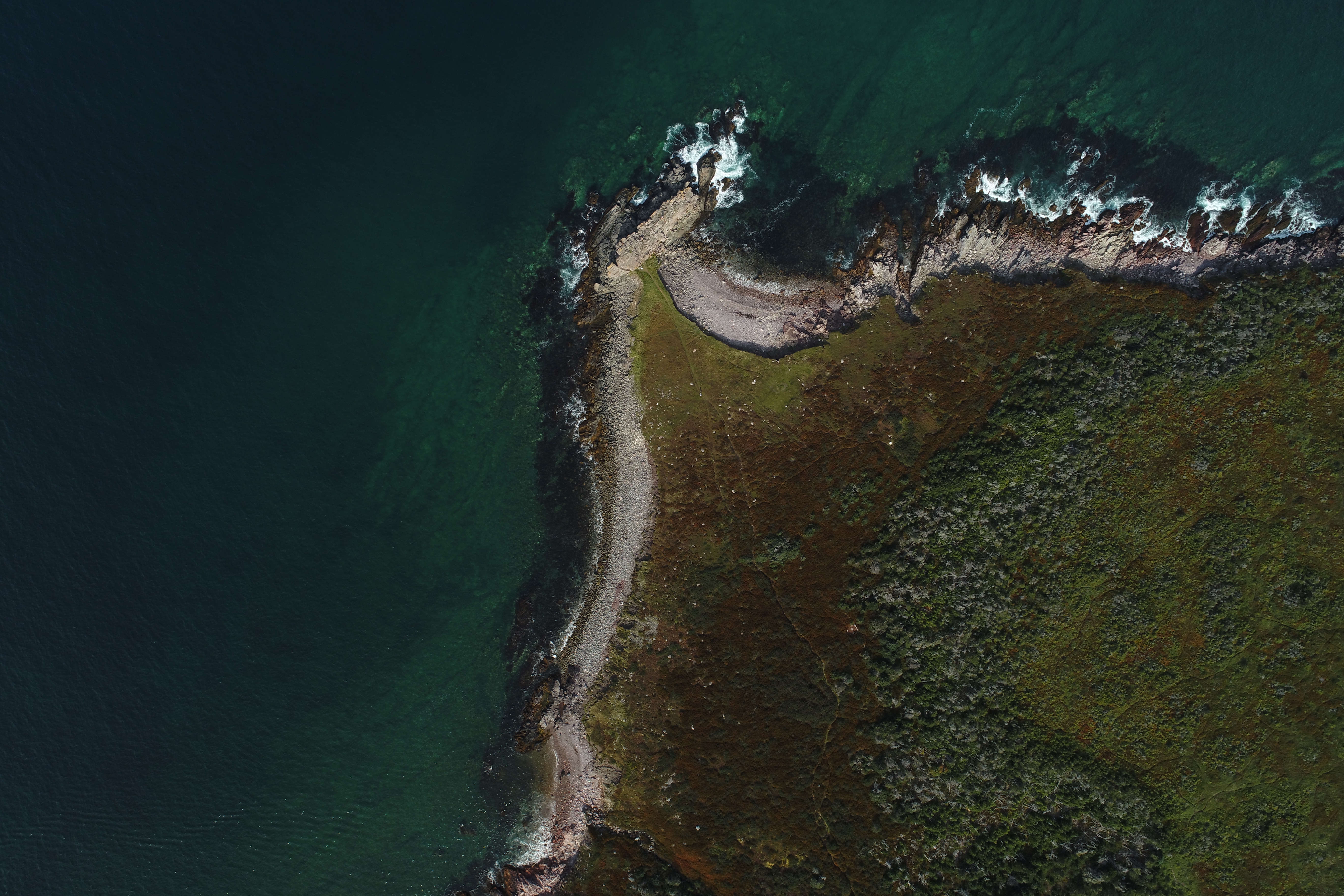
Exemple image drone
Spatial extent
N
S
E
W
Provided by

Associated resources
Not available