 GeoSPM
environment
Domaines
Harvested
Provided by
Type of resources
Available actions
Topics
Provided by
Years
Formats
Representation types
Update frequencies
status
Scale
-
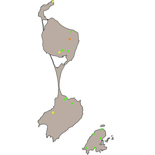
ouvrages ponctuels constituant le réseau d'eau et d'assainissement de la ville de Miquelon
-
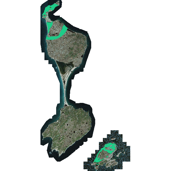
Ensemble des parcelles définitivement protégées par le Conservatoire du Littoral (acquises ou affectées à l'établissement) ou provisoirement confiées au Conservatoire
-
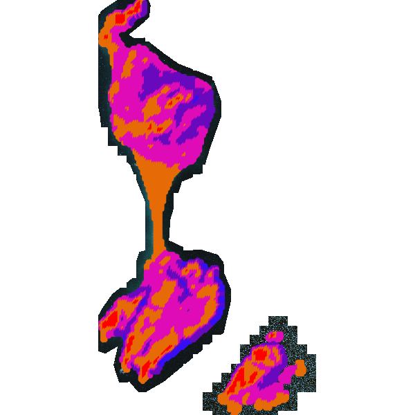
Cartographie des résultats de l'étude sur le potentiel éolien de l'archipel de Saint-Pierre et Miquelon
-
Cartographie des résultats de l'étude sur le potentiel éolien de l'archipel de Saint-Pierre et Miquelon
-
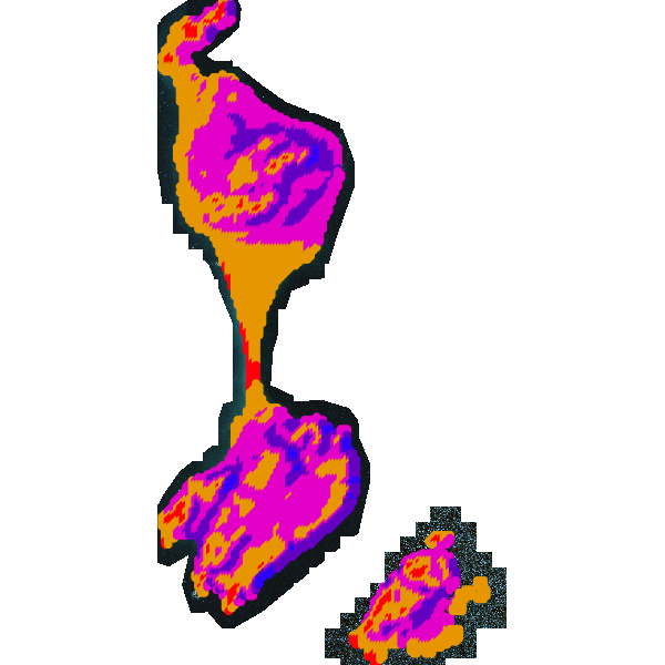
Cartographie des résultats de l'étude sur le potentiel éolien de l'archipel de Saint-Pierre et Miquelon
-
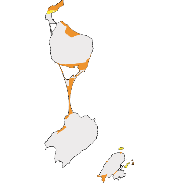
Zones définies dans le cadre de la stratégie 2015-2050 de l'établissement
-
Périmètres d'intervention approuvés par le Conseil d'Administration du Conservatoire du littoral
-
Dans le cadre de la détection des pestes phytosanitaires et de la conservation des espèces et des écosystèmes, la DTAM procède au suivi des populations de diprions et autres parasites se développant dans les forêts de type "boréal". Ces données statistiques sont traitées par la DTAM mettent en lumière l'évolution et l'état de ces populations sur l'archipel de Saint-Pierre et Miquelon.
-
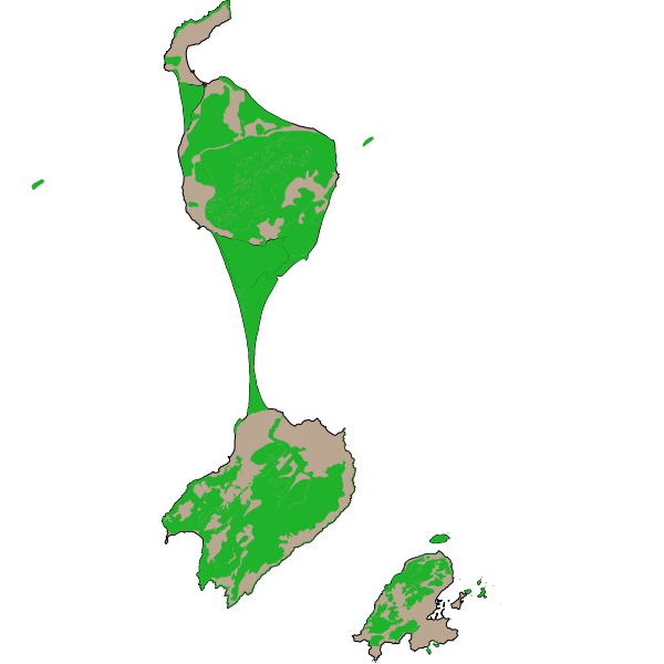
Les ZNIEFF de type I représentent des secteurs d'une superficie en général limitée, ils sont caractérisés par la présence d'espèces, d'associations d'espèces ou de milieux, rares, remarquables (ex : loutre, tourbière,...).
-
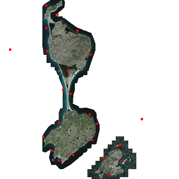
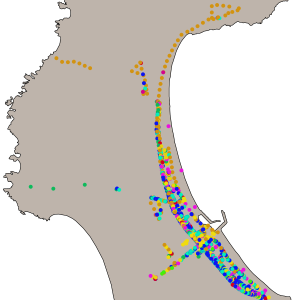
données ponctuelles représentant les lieux de comptage des phoques sur l'archipel