dataset
Domaines
Harvested
Provided by
Type of resources
Available actions
Topics
Keywords
Contact for the resource
Provided by
Years
Formats
Representation types
Update frequencies
status
Scale
Resolution
-

A comprehensive set of oceanographic data were collected in Fortune Bay, a broad, mid-latitude fjord located on the south coast of Newfoundland (Canada). The dataset was gathered in partnership with IFREMER who collected data around the adjacent French archipelago of Saint-Pierre and Miquelon. The dataset consists of data from taut-line moorings, land-based stations (a tide gauge and a couple of weather stations) and CTD profiles performed during mooring maintenances (~every 6 months). Parameters covered by the moorings include water column temperature (thermistor chain), salinity (2 points/depths per mooring), dissolved oxygen (on a limited number of moorings, within the surface layer) as well as current profiles (ADCP). Land-based stations monitored water level and temperature (tide gauge) and wind speed and direction, atmospheric pressure, air temperature and solar radiation (weather station). CTD profiles include dissolved oxygen for the most part. The program lasted two full years from May 2015 to May 2017 and sampling interval varied from 1-60 min depending on the instrument.
-
-
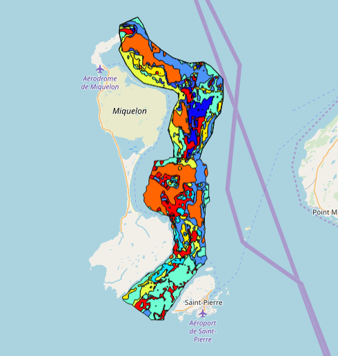
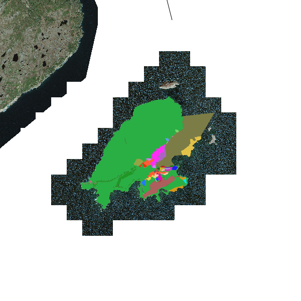
This data set was collected during 2 ENVISION-IFREMER field campaigns carried out in 2007 and 2011 to sustain a Pectinid aquaculture project. This was co-funded by ODEADOM and the public collectivity of Saint Pierre et Miquelon. This work aims to assess new seeding and rearing areas for the King scallop Placopecten magellanicus through a site selection process using the bottom type mapping data set obtained during the 2 ENVISION-IFREMER field campaigns. Furthermore, new estimates of potental scallop production is produced by this data treatment.
-
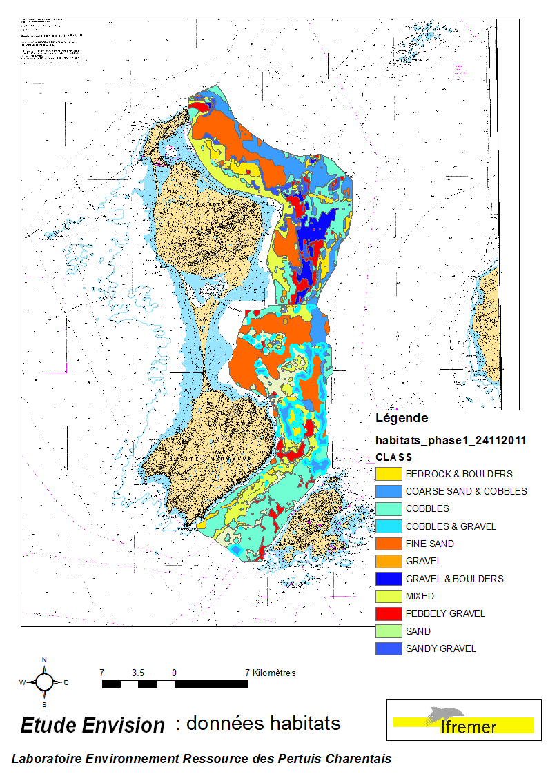
These data were collected during the 2007 and 2011 ENVISION-Ifremer campaigns to sustain a R & D project focusing on the Pectinid aquaculture development. This project was co-funded by the Saint Pierre et Miquelon public body and ODEADOM. This work aims to assess and select new potential rearing areas for the King scallop Placopecten magellanicus by using bottom type data resulting from 2 mapping campaigns carried out in 2007 and 2011 on the Eastern coast of Saint Pierre et Miquelon archipelago.
-
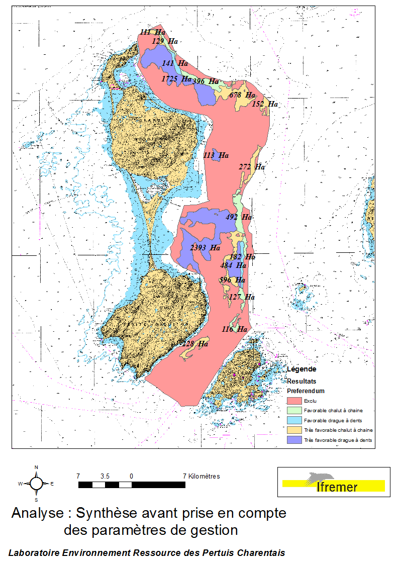
This data set was obtained during 2 ENVISION-IFREMER field campaigns carried out in 2007 and 2011, to sustain a R & D project aimed to develop pectinid aquaculture. This project was co-funded by the St Pierre et Miquelon public collectivity and ODEADOM. This represents a synthesis of spatial analysis based upon multi-criteria to assess future seeding and rearing areas for King scallop Placopecten magellanicus on the Eastern coast of Saint Pierre et Miquelon.
-
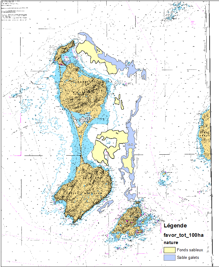
This data set was obtained during 2 ENVISION-IFREMER field campaigns carried out in 2007 and 2011 to sustain a Pectinid aquaculture project. This project was co-funded by ODEADOM and the public collectivity of Saint Pierre et Miquelon. Potential areas for further aquaculture exploitation and development on the Eastern coast of Saint Pierre et Miquelon.
-
-
-
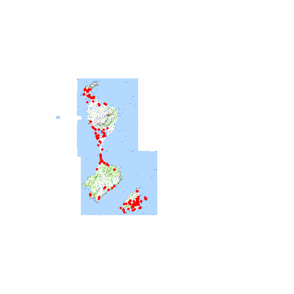
Ce catalogue regroupe l'ensemble des vols drone effectués par les agents de la DTAM depuis 2018.
-
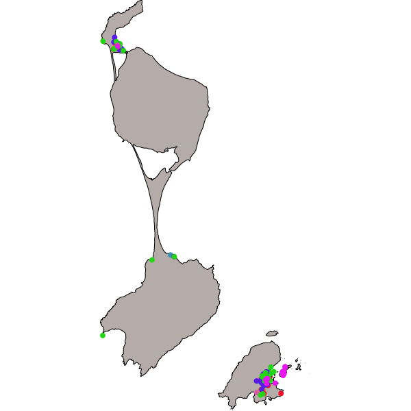
donnée ponctuelle localisant géographiquement les bâtiments liés à l'activité sociale et économique de l'archipel de Saint-Pierre et Miquelon
 GeoSPM